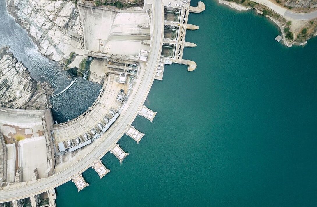
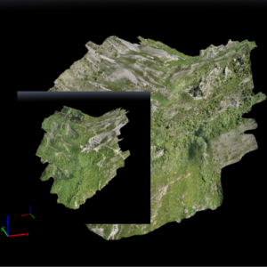
Engineering and Design

Our focus, into deploying extensive feasibility studies, is aided by a professional team of experience engineers whom have tackled some of the most successful projects in the sustainable energy sector in the region.


Following a list of services:

  • Conceptual Designs;
  • Hydrological Studies;
  • Engineering Geology Studies;
  • Topographical Surveys;
  • Seismic Studies;
  • ESIA and Public Consultations;
  • Business Plans;

Taking the next step from the feasibility studies, GR Albania offers detailed design services that can help you get your projects running through a carefully calculated approach.


Following a list of services:

  • Front End Engineering Design (FEED)
  • Calculation and Analyses;
  • Detailed Drawings;
  • Electrical Designs;
  • As-built drawings;

Optimization Studies

One of the key components of any project in renewable energy is the optimization of the current performance of the project to increase ROI and better utilize it. GR Albania provides optimization studies of your current project performance, especially for Hydropower, Wind Power and Photovoltaic Plants. Our review is generated by a professional team of engineers and compared to major international benchmarks.


Topographical Surveying – Arial Mapping with UAVs (Drones)

Autonomous drones have become the leading technology for creating topographic maps. Drones make it possible to capture various types of imagery across the light spectrum. We use RGB images in surveying, for estimating high-accurate surface models or 3D point clouds, and creating high-resolution up-to-date orthomosaics. UAVs(Unmanned Autonomous Vehicles) allow to collect detailed, accurate data for an entire job site, and save hours of work.


How does it work?

We use integrated solutions, taking automatically hundreds of pictures of a specified area. During processing similar points across multiple images will be identified. Using these similar points, the system constructs a three-dimensional point cloud, which is used to generate topographic maps, digital terrain models, meshes, and orthophotos that engineers rely on for design and build work.

Are you interested in a quote, or have a specific question related to your project that we might impact positively? Feel free to use our contact form or even contact us through any of our social medias. We will get back to you within 48 hours with questions.
Contact Us Now
Our core values recognize that our business success is founded upon a commitment to certain principles.
People

The expertise, passion and thought leadership of our talented people make our success possible. We respect and encourage our people’s ideas, diversity and cultures.

Clients

We are committed to our clients and to setting industry standards for service and delivery. We take ownership for solving our clients’ problems and anticipating new opportunities.

Excellence

We believe in delivering unequivocal excellence in everything that we do.

Integrity

We must always maintain our commitment to acting ethically and with integrity — in all that we do, every day of the year.

Safety

We are a company that puts safety first. We are all accountable for keeping ourselves and our colleague’s safe, and for delivering work safely to our clients.

Innovation

We differentiate our company by challenging ourselves to look for new and better ways to deliver our expertise through innovative solutions that enable each client to realize its vision.